Revision date is November 30, 2018 – http://www.sharonandlee.net
This collection of information was written in response to a disturbing incident in early season December 2017 where an un-named group skied a closed area under the Winter Permit system in Rogers Pass. An online conversation cast light on some views that this poach could possibly have resulted from ignorance of the Winter Permit System of Rogers Pass. It has now been updated because as early as Dec 1, 2018 another ski touring party poached the MacDonald West Prohibited Area
Access to many (but not all touring locations) in Glacier National Park (“GNP”) is through a permit system designed to allow for safe travel for backcountry travellers during times of avalanche control. Frequent visitors will get an Annual Permit; something you can also do online if you want to avoid a lineup and wait at the Discovery Centre.
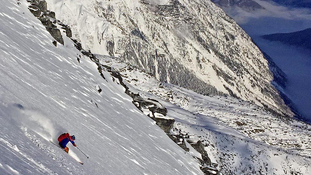
https://www.newschoolers.com/videos/watch/916501/Rogers-Pass-Nov-2018
Avalanche control in the Pass may result in areas being closed so it is important to check to see what’s open before you go.
These collection of links and information is one person’s attempt to mitigate such ignorance. It cannot be the end-all be-all. I will search-engine optimize this so the links can be found easily via Google or search engine. Obviously if a person is unwilling or does not do a search about Rogers Pass these links will not be useful. THEREFORE IT IS UP TO YOU TO USE YOUR BRAIN AND A COMPUTER OR THE RESOURCES AT THE VISITOR CENTRE TO EDUCATE YOURSELF ABOUT SKIING AT ROGERS PASS BEFORE YOU GO.
I will try to update these links and keep them current.

Visitor Centre – Rogers Pass.
____________________________
Parks Canada – Winter Permit system
Emergency Number 1-877-852-3100
Glacier National Park visitor centre and Facebook page
Parks Canada – Winter travel app
Geotagged PDF format maps – Winter Permit System (use on mobile without data but with location
Winter Terrain Atlas – Pictures of terrain (high res – TerrainAtlas_english hi-res); (low res – Winter Terrain Atlas complete-small-eng)

Obtaining data about snow depth
____________________________________
Other useful links (from the author and from Geobackcountry’s Rogers Pass guide – thanks to Doug Sproul for permission to reproduce)
Parks Canada
Parks Canada (Revelstoke Office) (250) 837-7500 – https://www.pc.gc.ca/en/pn-np/bc/revelstoke/info/contact
Parks Canada (Rogers Pass Office
Road Conditions (Banff) (403) 762-1450 (Jasper) (780) 852-3311
Facebook page – Mount Revelstoke and Glacier National Parks
Avalanche Canada’s One stop shop for all resources via ARFI (quite possibly duplicated below)
Road Conditions
BC Highways Cam
DriveBC Rogers Pass cam
Drive BC Kicking Horse Canyon
Macdonald Snowshed East of Revy
Weather, Snowpack and Avalanche
Parks Canada Glacier National Park Avalanche Bulletin (250) 837 – MTNS (6867)
Snow Profiles
Images of various events
Graphs of various events
Weather stations
Other information
Avalanche Canada – (see Mountain Information Network and Mountain Conditions Report tabs)
Avalanche Canada (Weather Stations)
SpotWX
Windy
Environment Canada – Revelstoke – Golden
Drive BC road and weather conditions 1-800-550-4997 –
Ski areas
Maps and Imagery
Government of BC 1:20,000 geotagged TRIM (navigate to GNP and download what you need)
Geogratis 1:50,000 maps
Geogratis map images and data download directory (map imagery)
Geospatial data extraction (topo information; terrain shading, elevation, aspect, etc)
Magnetic declination calculator
NAD 27 to NAD 83 calculation tool
BC Peaks KMZ – bcMtns peaks and other useful KMZs
Google Earth (GE) browser
Government of BC – All layers for watercourses
Government of BC – Digital Road Atlas for roads

Obtaining data about snow quality
________________________________________________________________________
November 2018 early season conditions
Access is still best through any area with a summer trail. Aldercations can be expected in lower elevations due to lack of snow. Coverage is pretty healthy up high but there’s the small matter of getting there.
Generally speaking Connaught, Asulkan have decent access. Expect to fight for your lower passage on the Illecillewaet and probably Hermit and Bostock.

Good conditions up high at 2700m+ in the Connaught drainage


Avalanche Peak sunset

Adventure bushwhacking down lower for building character
Comments