Heavy snow is already approaching the area from the West this morning as the low pressure off the coast strengthens. A wave of moisture will rotate inland today & tonight dragging a front through Tahoe. Expecting another 10-15 inches today and 12-18 tonight for a 24 hour total of 22-33 more inches by tomorrow morning.
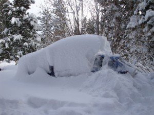
Then tomorrow the front stall across the area and the flow becomes more Southerly with steady snowfall continuing. We should pick up another 10-15 inches during the day tomorrow and then 3-6 tomorrow night as the heaviest moisture moves to our South and East. By Saturday we should have picked up another 3-5 feet on top of the 4.5 feet we have received so far. That would bring the storm total to 7-9 feet as we begin to clear out and dig out over the weekend.
The storm coming down the coast for Monday and Tuesday is still trending far enough off the coast that we only see clouds and maybe a few flakes. The slighest shift to the East would mean that we see more accumulating snow. There is another inside slider storm coming down over land for Wednesday and Thursday which would bring more cold and snow showers.
As we go into the following weekend and the beginning of March it appears that the ridge may reform back out in the Pacific around 160w just South of the Aleutian Islands. That is the position where it was this week, and that would create a similar pattern where cold storms dive down from the North across the Pacific picking up moisture and dumping it on us. Stay tuned.
Comments