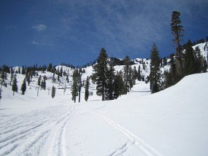
The sun is finally out today and it will stay out with warming temps for the next few days. The average high temp for this time of year at lake level is around 58 degrees at the base. We may hit 50 today at the base but Wednesday and Thursday we will be into the 50′s getting close to average. On the upper half of the mountain we will be in the 30′s today and then the 40′s Wednesday and Thursday.
The ridge in the Pacific this week will be moving from West to East from about 160w towards 140w by the weekend. A storm will drop into the Pacific NW on Thursday just ahead of the ridge and will drag a colder air down the coast for Friday. It doesn’t look like we will get much moisture down here, maybe a another dusting. Temps will be back into the 30′s on the upper mountain & 40′s at the base for Friday and Saturday.
By Sunday the ridge is expanding in the East Pacific off our coast and it now looks like it will be a bit further North. That would keep the storm track next week a bit further North into Western Canada and allow us to be a little warmer and dry. Temperatures should be around average for this time of year with sunny skies all week.
Looking long-range we should have a negative Arctic Oscillation & North Atlantic Oscillation. That should bring a shot of cold air into the Eastern half of the country while the ridge build in over the West. The GFS forecast model is onboard with the Euro model today in showing a warmup the weekend of the 7th. We could have above average highs that weekend into the second week of May if this pattern comes through. That’s good news for all of you that like to ski or board in your shorts.
The teleconnections don’t all come together yet for a definite lock and hold of the ridge. We could still see shots of cold air with some troughs as we go through the month. To summarize: a cold shot this Friday-Saturday, nice weather next week with average temps, and a possible warmup the weekend of the 7th into the second week of May. BA

Comments