It looks like you are using an ad blocker. That's okay. Who doesn't? But without advertising revenue, we can't keep making this site awesome. Click the link below for instructions on disabling adblock.
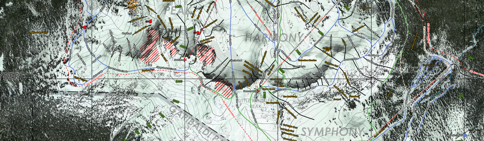
This is portion of a map I've been working on for the past 100 hours or so, with over 900 photoshop layers. Shows run names, patrol names, lifts, PC areas, cliff areas, reservoirs, etc. The map is accurate in terms of navigation, with UTM coordinates, WSG84 projection and magnetic declination.
Comments