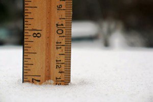
There will be a lull in the action this evening before part 2 of the storm moves in overnight as the cold front approaches. The heaviest should snow should occur during the morning hours on Monday and snow showers should last most of the day. Expected additional snow totals by Monday night of 6-9 inches at the base and 9-12+ inches on top. Storm totals by the Tuesday morning snow report should be around 20-26+ inches.
A ridge will build in behind the storm keeping us dry and warmer Tues-Thurs with temps up into the 40′s by Wednesday. As that ridge slides East it will be replaced by a flatter ridge out in the Pacific around 140w. Since the ridge is not quite far enough West it will keep the next couple of storms just to our North and we are on the Southern edge. That will bring a shot of colder air and a chance of light snow Thursday night and Saturday night.
The ridge may then retrograde back a little further West allowing a storm to dig and bring us a bigger storm on Monday the 14th. There is another storm heading our way around the 18th but the models are trying to build a ridge in the East Pacific.
Looking at the teleconnections they are not looking as favorable after mid-month. The PNA has already gone positive over the past few days which may be why the ridge is so flat this week. The forecast is for the PNA to stay slightly positive and the AO & NAO to trend towards negative. That could mean the end of our storm train after mid-month but not necessarily the end of our storms. BA

Comments